Navneet India Political Map with National Highways And Heritage Sites – Ultimate Laminated Educational Chart Poster for Kids 6+ Classroom & HomeAvailability: In stock
₹160.00 (Inc. GST)
Availability: In stock
Tax & delivery charges calculated at Checkout
Delivery in Pune: 2 days Delivery
Delivery across India: 3 to 6 days
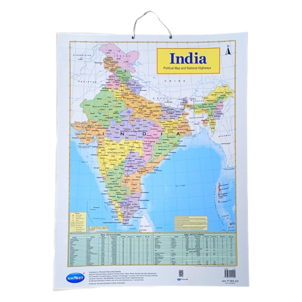
Bring the diverse beauty and history of India to life with the Navneet India Political Map featuring national highways, heritage sites, and iconic monuments. This laminated educational chart combines geography, culture, and history in a single visual tool, making learning about India engaging, interactive, and memorable for young learners. Perfect for parents and educators aiming to foster curiosity about the country’s geography and rich heritage.
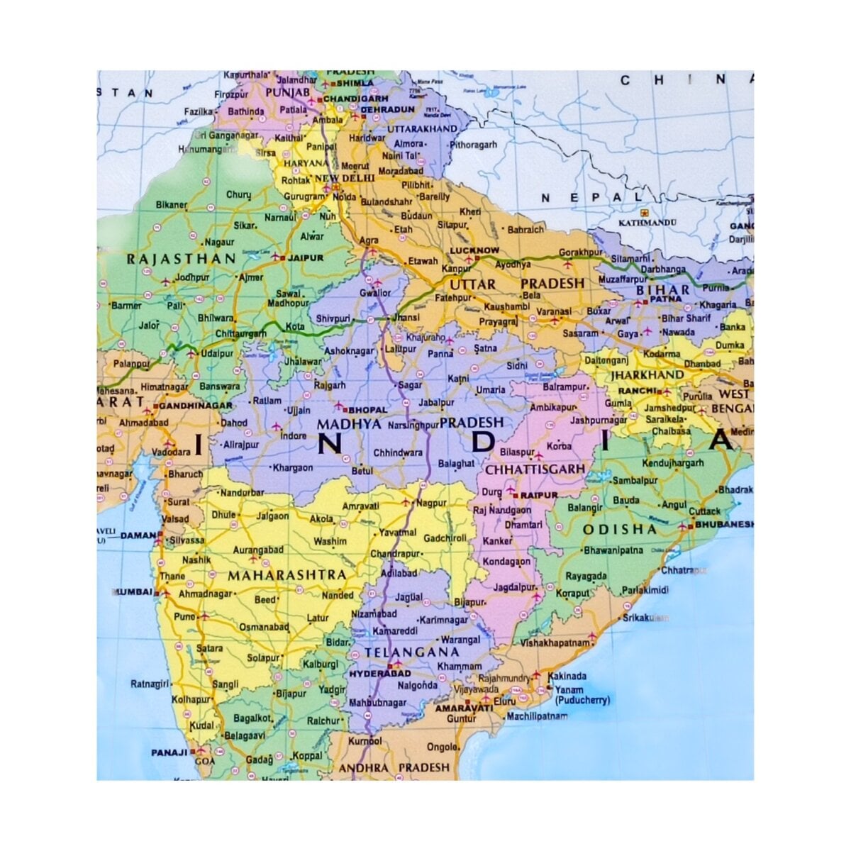
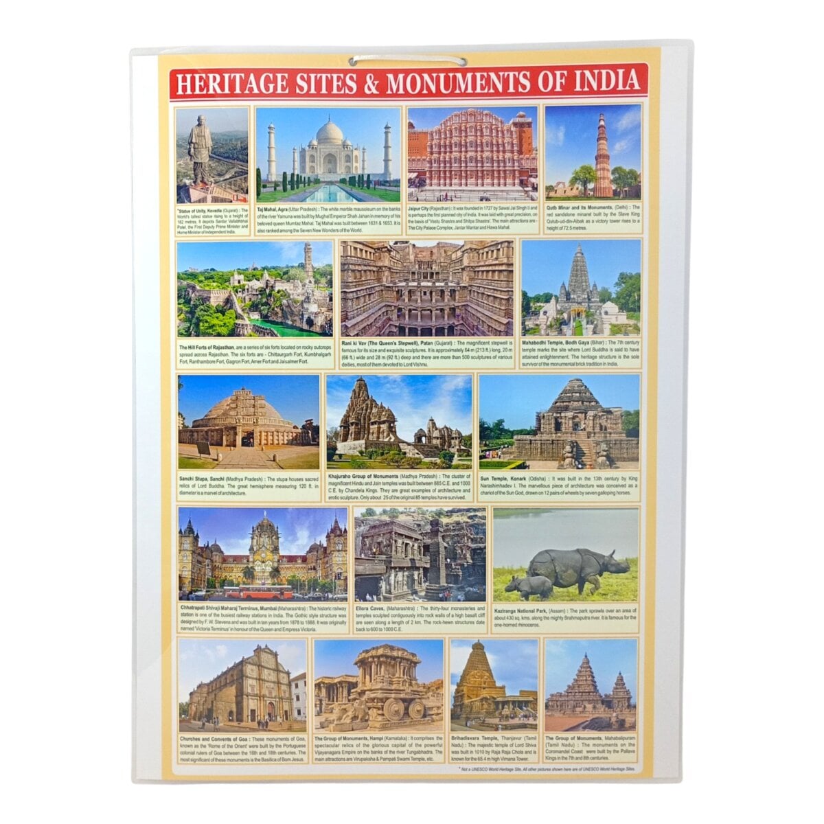
The Navneet India Political Map showcases detailed state boundaries, major cities, and national highways for easy geographical understanding. In addition, it highlights famous heritage sites and monuments, allowing children to connect history with location. Laminated for long-lasting durability, the chart withstands daily use in classrooms, study rooms, or home learning spaces. Its bright, large-format design makes it easy for children to identify states, routes, and landmarks, encouraging discussions, map-reading skills, and cultural awareness. By integrating political, transportation, and historical knowledge, this chart provides a comprehensive educational experience for curious minds.
Ideal for children aged 6 and above who are beginning to explore Indian geography, history, and cultural landmarks. Perfect for parents, teachers, schools, and homeschoolers. Makes an informative and thoughtful gift for students interested in maps, travel, or Indian heritage.
• Laminated chart for durability and easy cleaning
• Detailed political map with state boundaries and major cities
• Highlights national highways for basic transport awareness
• Features heritage sites and iconic monuments of India
• Large, colorful design perfect for classroom or home learning
• Encourages geography, history, and cultural awareness
Additional Product Information
Country of Origin: India
Published by: NAVNEET EDUCATION LIMITED Reg Off: Navneet Bhavan, Bhavani Shankar Road, Dadar (West), Mumbai 400 028, Maharashtra
Recommended Age: 6+year
Material Type: Plastic, Paper
EAN/ISBN: 9789389151404
Product Dimension: 71cm X 53cm
Package Dimension: 71cm X 53cm
Contents: One Navneet Wall Chart - India Political Map with National Highways, Heritage Sites, and Monuments
Net Quantity: 1U
Item Weight: 160 gms
Commodity: Wall Charts
Assembly Required: No
Batteries Required: No
Batteries Included: No
Customer Care: Customer Care No.: 022 66626300, Customer Care Email: cbd@navneet.com
Important note: Product(s) on our website are for retail buyers only and not for resellers. Order acceptance will be at our sole discretion. Please don’t place orders if you’re a reseller. Thank you for understanding.
Navneet India Political Map with National Highways And Heritage Sites – Ultimate Laminated Educational Chart Poster for Kids 6+ Classroom & HomeAvailability: In stock
Reviews
There are no reviews yet.
Only logged in customers who have purchased this product may leave a review.